
Doi Inthanon
A full day: 2 to 2.5 hours each way
Doi Inthanon, at 2,565 metres, is Thailand’s highest mountain, and the national park around it lies south-west of Chiang Mai. It is not close to Baanpong Lodge. From Ontai in San Kamphaeng it is roughly 100–120 km, and the drive takes 2 to 2.5 hours depending on traffic through the city and how often you stop. Treat it as a full day.
The route runs west through Chiang Mai’s outskirts, south on Highway 108 to Chom Thong, then up Route 1009 into the park. The roads are paved and well kept, but the final climb is long, steep and winding, and sometimes in mist. A car or a hired driver is the sensible choice; I wouldn’t take a scooter up unless you are very used to mountain roads. We drove ourselves. The lodge can arrange a private driver, and guided day tours from Chiang Mai include pickup. Leave at 7–8 a.m. to get ahead of the crowds and the heat. There is parking at the main stops inside the park.
Waterfalls, the Kew Mae Pan trail and the pagodas
The top of the mountain is much colder than the lowlands, often properly chilly, so take a jacket even when Chiang Mai is hot. What surprised me most was how sudden the change is: you leave the humidity behind and arrive in sweater weather.
Mae Ya Waterfall, near the entrance, comes down over rock in several tiers into pools.
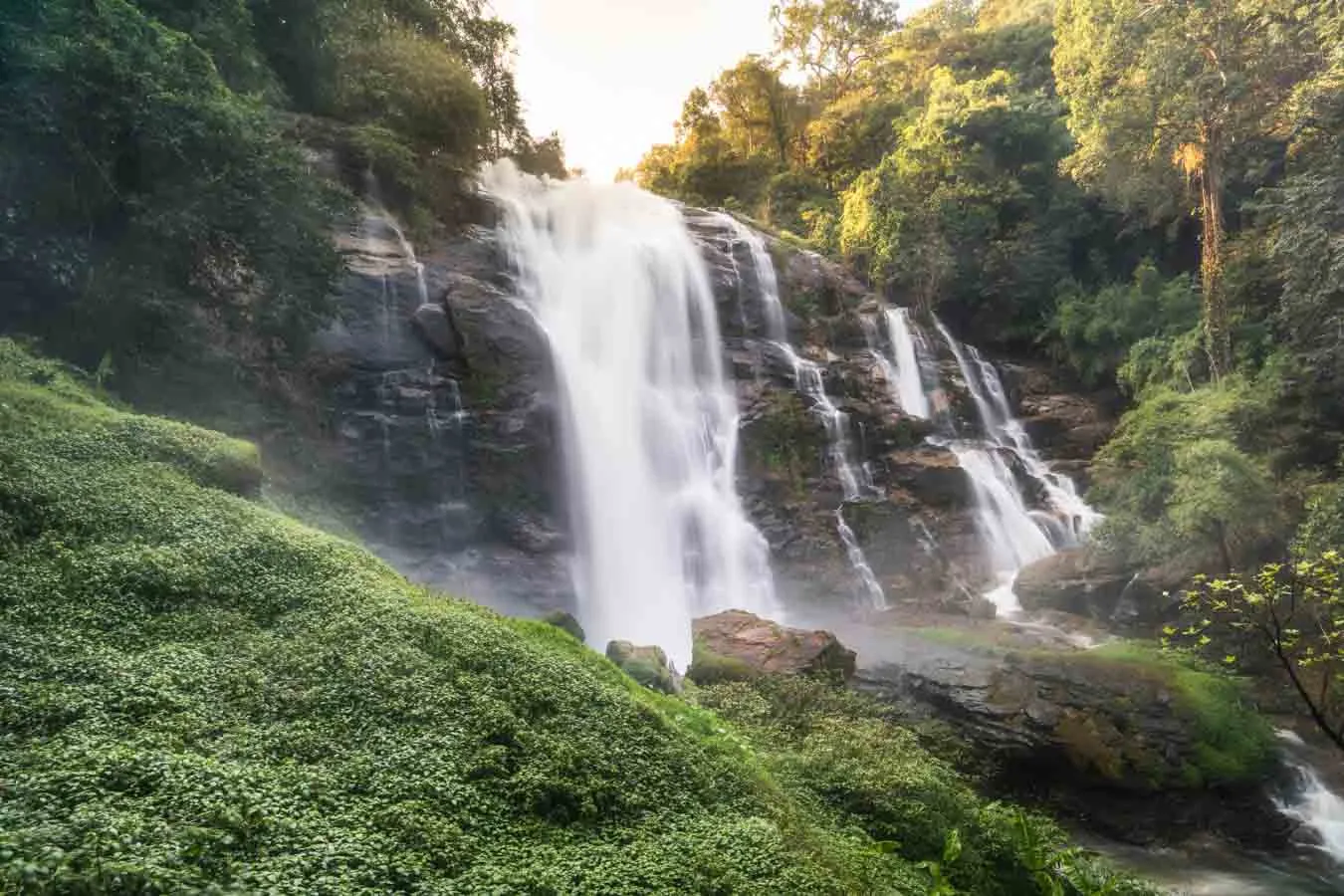
Wachirathan Waterfall, further up the mountain road, drops down dark basalt cliffs. It is a short, easy walk from its car park, and you will get damp from the spray.
The Kew Mae Pan Nature Trail is a 2–3 km loop through cloud forest and open grassland, past moss-covered trees to viewpoints where the cloud often sits below you. Standing at its viewpoint watching the mist move over the valleys was the best part of my day. The trail can be closed from June to October to let it recover, so check before you go in those months.
Near the top are the twin royal pagodas, Phra Maha Dhatu Naphamethanidon and Naphaphonphumisiri, built to honour the late King Bhumibol and Queen Sirikit and set among formal flower beds. A sign marks the summit itself.
What to take, and when to go
Facilities on the mountain are limited. Take water and snacks, walking shoes with grip (the trails get slippery), a light jacket and a camera. November to February brings the clearest skies and the coolest temperatures; early in the day means fewer people and better light. Rain makes the trails slick. For photographs, the pagodas in the late-afternoon light and the misty base of Wachirathan are the obvious spots.
Leave the mountain by mid-afternoon and you are back in San Kamphaeng in time for dinner, and for the lodge’s outdoor pool if it is still warm.
Hours, fees and facilities
- Opening hours: typically 5:00 a.m. to 6:30 p.m.; gate times vary slightly.
- Entry fees: around 300 THB for adults and 150 THB for children, plus a 30 THB vehicle fee.
- Facilities: toilets and small shops or food stalls at the main stops (the waterfalls and the visitor centre) and a few park cafés. There are no large restaurants, so a packed lunch is worth considering.
- On the way: the Doi Inthanon Royal Project sells organic vegetables, flowers and hill-tribe crafts, and Chom Thong town is on the route.
Somewhere to stay while you see it
Baanpong Lodge is 30 minutes east of Chiang Mai, in San Kamphaeng — a pool, a kitchen that cooks to order, and rooms that are quiet at night.